Topo3D measures, documents, inspects and checks structures in fifteen sectors across Quebec and Canada, with one team accountable for the mandate. Choose yours to see its challenges, our solutions and our projects.
Group 01 · 4 sectors
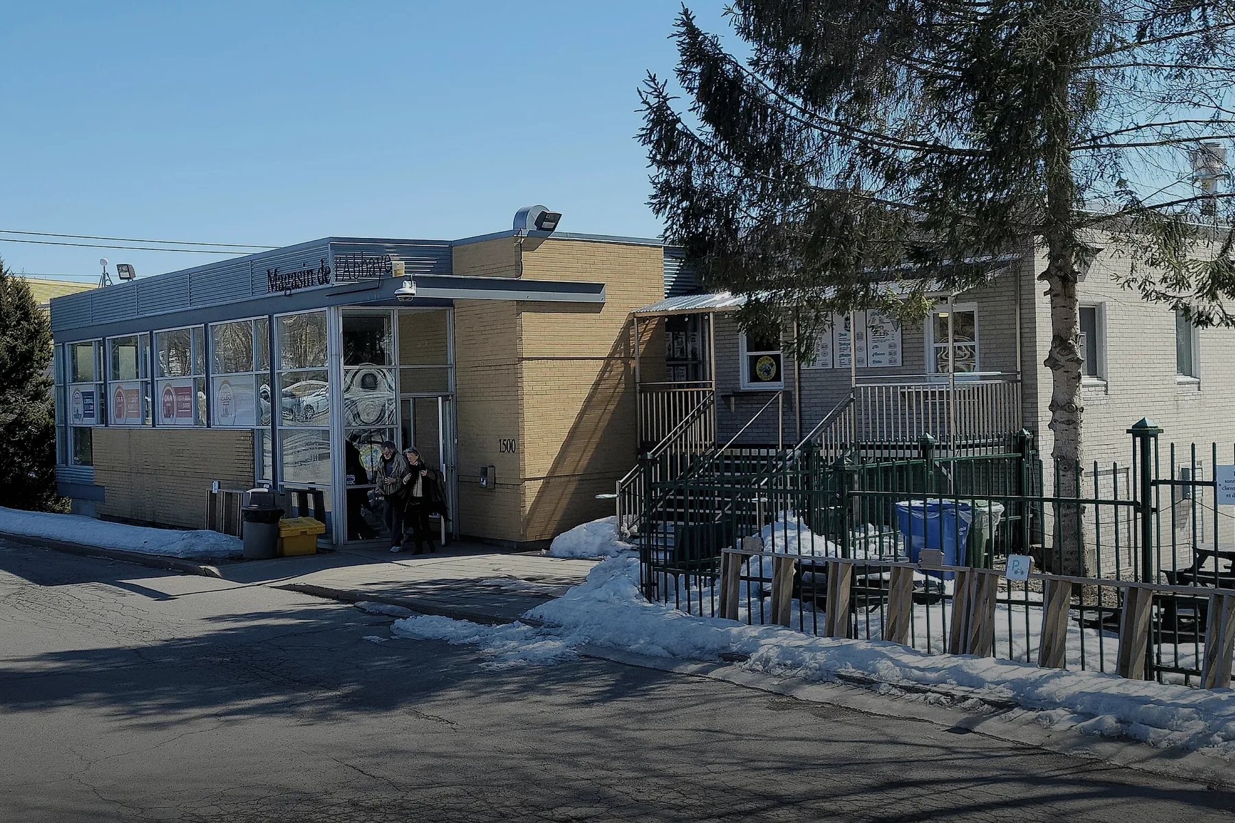
Civil engineering: roads, bridges and structuresTopo3D measures the actual condition of your roads and structures, at night and under traffic, then supports the project all the way to the as-built. You decide on rehabilitation work based on verified data, not on original drawings.→
Public transit and railTopo3D measures stations, tunnels and tracks without disrupting service: surveys planned during non-revenue hours, clearances verified, track monitored during nearby work. Your teams design and operate with up-to-date data.→
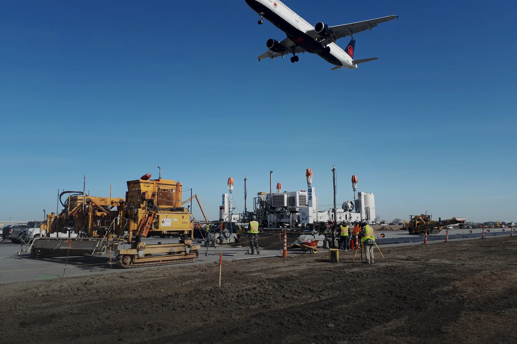
AirportsTopo3D lays out, surveys and documents airport infrastructure while the airport stays open. A single team coordinates construction surveying, 3D scanning and aerial surveys, with deliverables ready for the engineer, the contractor and the operator.→
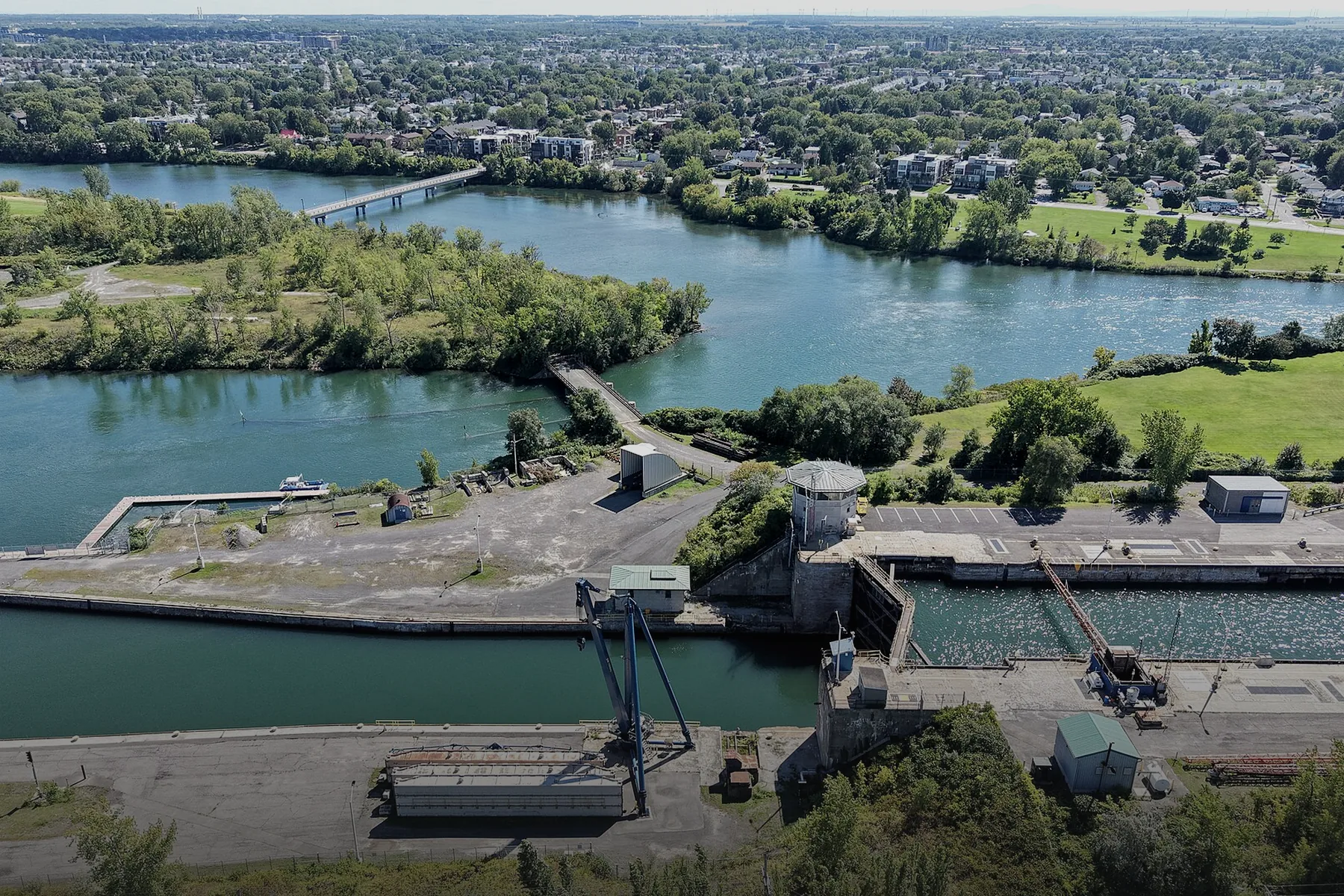
Maritime, ports and waterwaysTopo3D brings what lies underwater and what stands above it into a single model: the bottom, the toe of the wall, the wharf, the shoreline and the structure. One team coordinates bathymetry, 3D scanning and construction surveying, and delivers a continuous surface ready for design, construction or monitoring.→Group 02 · 2 sectors
Construction and buildingsTopo3D surveys existing conditions, lays out and checks the work during construction, then documents the building as built. One team, with data tied to the same reference system, from the first gridline through to operations.→
Municipalities and urban networksTopo3D provides municipalities and their contractors with the surveys that support asset management: a georeferenced inventory of streets and networks, layout of the work, as-built plans and monitoring of hydraulic structures.→Group 03 · 3 sectors
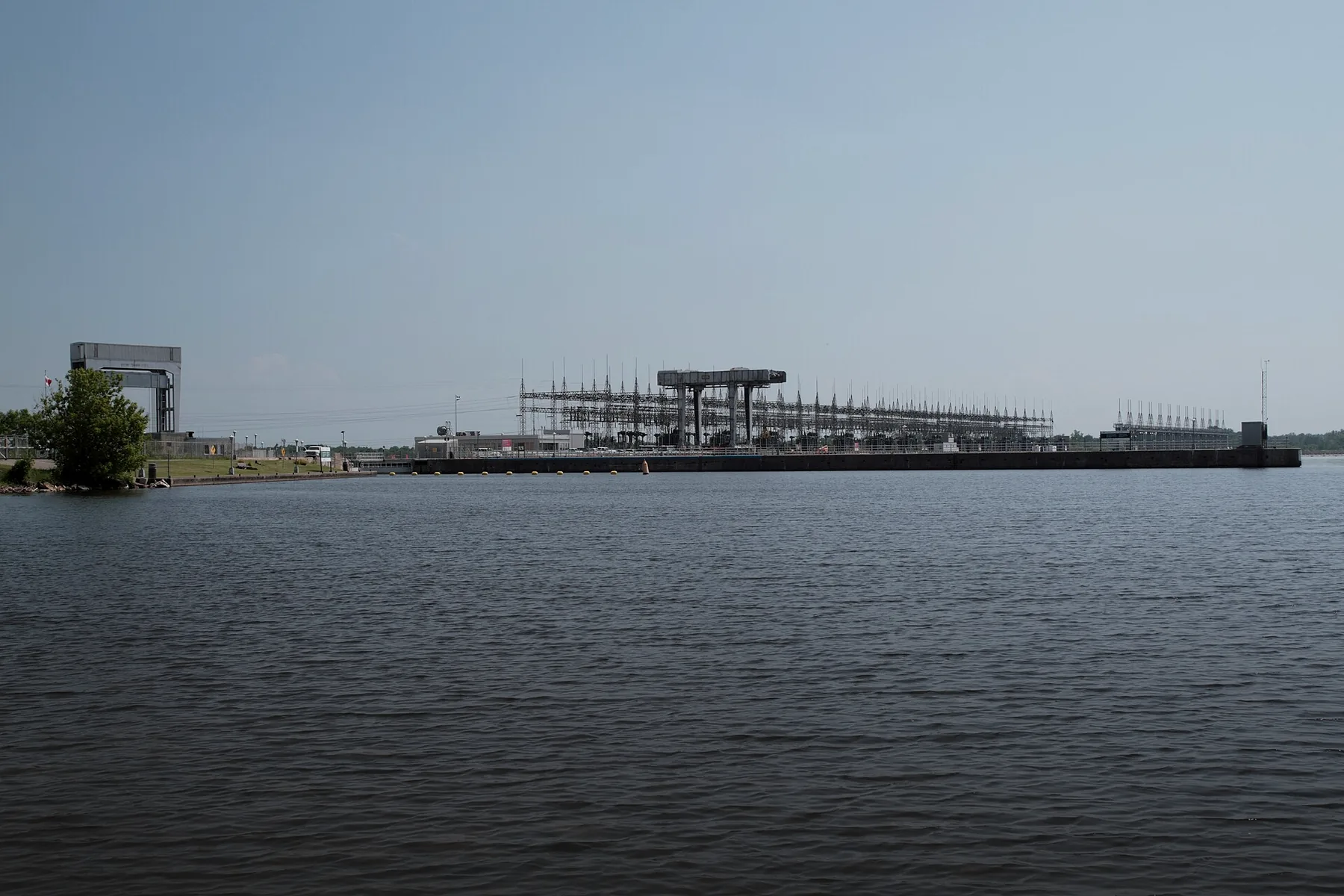
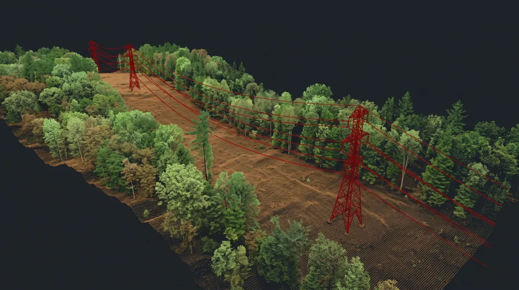
EnergyTopo3D measures and documents your generating stations, dams, substations, lines and generation sites so your engineers can design, repair and build from up-to-date geometry, delivered in a ready-to-use format.→
Mines and quarriesTopo3D measures your stockpiles, pits, walls and dikes so that your inventories, declarations and operating decisions rest on measured volumes and surfaces that can be compared from one campaign to the next.→
TelecommunicationsTopo3D measures your towers, rooftops and corridors so that your engineers, site acquisition teams and contractors work from the same geometry, surveyed from the ground, by drone or from a vehicle.→Group 04 · 3 sectors
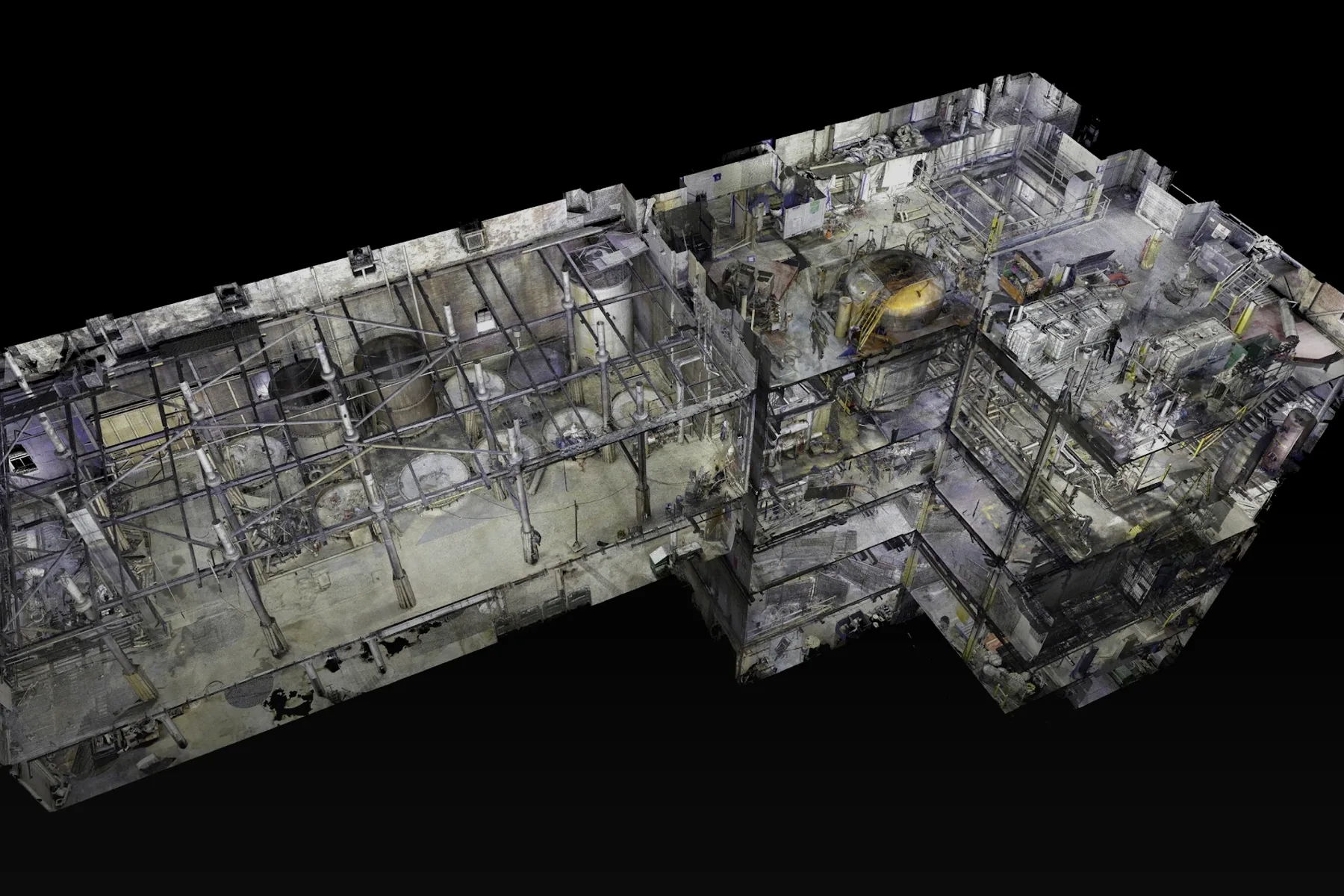
Oil, gas and chemicalsTopo3D measures your process units, pipe racks, tanks and sites in the plant coordinate system, so your planned shutdowns and capital projects start from reliable geometry, with as few entries into process areas as possible.→
ManufacturingTopo3D measures your plant as it really is, lays out your new equipment exactly where it needs to go and gives you a 3D base for deciding on a reconfiguration, an expansion or a new line.→
Food processingTopo3D surveys your buildings and lines around your production and your hygiene rules, so your modernization projects are designed on measured existing conditions and coordinated between engineering, the equipment supplier and the contractor.→Group 05 · 3 sectors
HeritageTopo3D gives heritage project teams the measured current condition of a building, a bridge or a site, then monitors how it behaves during the work. A single team coordinates the survey, the plans, the model and the monitoring, and delivers data that the architect, the engineer and the contractor can use as is.→
Entertainment and eventsTopo3D measures venues, sites, sets and stage objects so your teams can design, fabricate and install on the actual geometry. The same team surveys the venue, scans the object in the shop and lays out the setup markers, in Quebec and on tour.→
Environment, forestry and agricultureTopo3D measures the ground, the shoreline and the bottom of the water, then measures the same place again to show what has changed. Your environmental, forestry or agronomy professionals make decisions based on recent, comparable topography.→Flagship projects
All our projects →


Frequently asked questions
Everywhere in Quebec and Canada, and abroad on request: Topo3D has carried out assignments in the Northwest Territories, Ontario and Paris.
Depending on the assignment: point clouds, DWG drawings, 3D and BIM models, control reports and as-built drawings.
Yes. Surveys are scheduled at night, during planned shutdowns or according to site access rules, so service and production keep running.
We reply quickly and the quote follows within 24 to 48 hours.
Have a project in mind?
Book a meetingPick a time in our calendar for a virtual meeting.Call us1-844-867-6331


"I'd like to share my incredible experience with Jonathan Bouffard and his team at Topo 3D. Their expertise in 3D scanning is simply unrivalled! Since we've been working with Jonathan, we've been able to bring our projects to life in a way that exceeds our expectations. It's always a pleasure to collaborate with such a committed team."
"I wanted to take a moment to express my deepest gratitude and share my glowing testimonial to their outstanding work by the TOPO3D team in executing our Civil projects. Their unwavering dedication, inexhaustible drive and remarkable expertise truly made the difference."
"Topo3D is a trusted professional partner for Prevu3D's turnkey projects. Their cutting-edge expertise and commitment to quality service have served more than 2,000 satisfied customers worldwide. We highly recommend their services."
"Right from the start, I was impressed by Topo3D's level of commitment. Their approach is simply remarkable, and through their appropriate use of a number of technologies it ensures the achievement of a quality result that I have rarely seen. They demonstrated meticulous attention to detail, ensuring that every aspect of our project was considered and executed with exemplary precision. Their attention to detail is simply extraordinary."
"I can't recommend Topo3D highly enough for their unrivalled professionalism, inspiring drive and unrivalled expertise in helping us realise our projects. Working with them has been a truly rewarding experience, and I'm convinced that anyone who has the chance to collaborate with them will be fully satisfied with the results."
"Topo3D's professionalism is truly inspiring. Their highly qualified and competent team demonstrated first-rate technical expertise, surpassing all our expectations. Their in-depth knowledge of the field and their ability to propose innovative solutions greatly contributed to the success of our project."
"The people at TOPO3D are always at the forefront of finding innovative applications for 3D scanning, enabling us to make substantial savings on our projects. The accuracy of the scans allows us to design and prefabricate piping without having to validate measurements on site."
"Working with Topo3D, I was also impressed by their responsiveness and efficiency. They demonstrated a keen sense of urgency with their mobile scanning, quickly responding to all our concerns and ensuring that our needs were consistently met. Their ability to handle the unexpected calmly and professionally was particularly noteworthy."
"Great service, knowledgeable and professional staff at Topo3D."
"The dynamism of the Topo3D team is simply contagious. Their constant energy and enthusiasm breathed new life into our project, propelling it to new heights. Their passion for their work shines through in every interaction, and this is undeniably reflected in the quality of their work."
"Exceptionally high quality service with competent, fast and efficient people."
"What really made the difference for us was the speed of execution as well as the quality of the 3D scans. They did the project with their 6 scanners in record time. If you're looking for high-quality 3D scanning services, combined with a responsive team, I highly recommend Topo 3D. Their commitment to excellence and their ability to respond quickly to their customers' needs are undeniable assets. Thank you, Jonathan, for your professionalism and for making our projects more tangible than ever."
"We worked with Topo3D for several years on Turcot. They were always there, precise, and able to adapt whenever the project changed direction. A real partner."
"From the first shovel to the opening, the Topo3D team was there. Reliable, rigorous and easy to reach. That makes a real difference on a project of this scale."
"The scan and 3D model they delivered for TORUK were of exceptional quality. We could work directly with their data, without losing any time."
"For the façade replacement, Topo3D made a lot of things simpler. Clear surveys, clean deliverables and a team that understands what is at stake. We appreciated their approach."
"The post-tensioning surveys and the 3D scan were done with great rigour. Topo3D worked in difficult conditions without ever letting precision slip."
"We have been working with them for more than ten years on the Jacques Cartier. Consistent data quality and the team’s professionalism are what we value most."
"The overnight mobile LiDAR survey over 16 km was carried out quickly and cleanly. The data was usable the very next day. Exactly what we expected."
"Topo3D combined several technologies very smoothly. Their all-in-one solution saved us time from the design phase onward. Truly efficient."
"For the tunnel rehabilitation, we needed reliable data. Topo3D delivered a point cloud and as-built drawings of a very high standard. Solid work."
"We have been working with Topo3D for several years at the Varennes site. They know industrial settings well and their service is simple and efficient. We recommend them."
"The pipe rack scan was done quickly, without slowing down our operations. The deliverables were clear and immediately usable by our teams."
"The plant’s digital twin exceeded our expectations. The BIM model is complete, accurate and genuinely useful for managing our assets."
"The scan before the cladding replacement was done discreetly and professionally. Careful work, suited to a sensitive site like ours."
"The surveying for the MAC transformation was impeccable. Topo3D combined technical precision with respect for the constraints of the site."
"The heritage buildings were scanned with great sensitivity. The 3D models are faithful and of high quality."
"They combined static and mobile scans to document the entire park. The result is complete and very useful for our long-term planning."
"Over several years of work, Topo3D always delivered accurate layouts and bathymetric surveys. Reliable, consistent and a pleasure to work with."
"The layout of the platforms and canopy went off without a hitch. A competent, responsive and professional team from start to finish."